BACK TO LEZER SCANNING PAGE
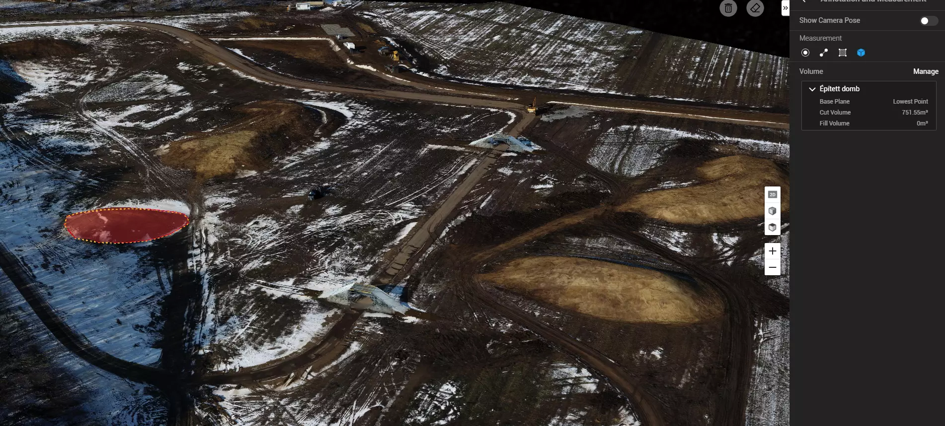
We also provide aerial surveys of areas using photogrammetry. Several hectares of land can be quickly surveyed, and from the surveyed areas, accurate measurements can then be made using a computer.